www.monumentaustralia.org.au
Home » Themes » Conflict » World War Two
Air Warning Radar Station Number 35Print Page 
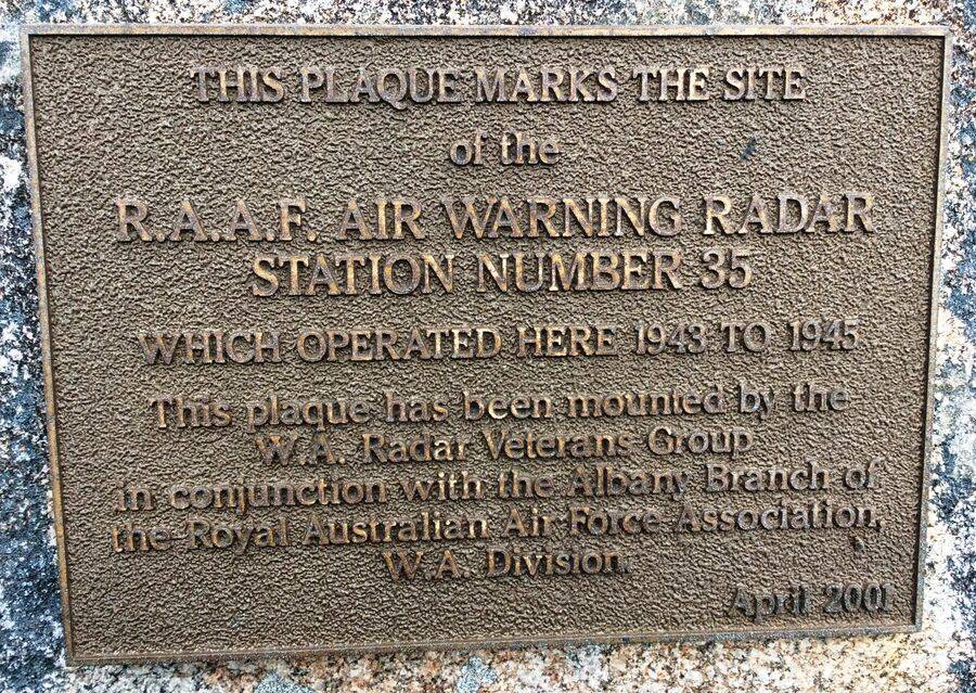
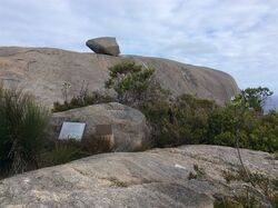
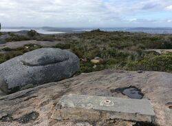
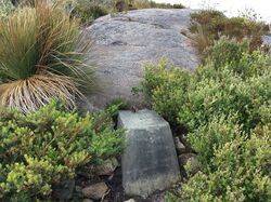
The plaque marks the site of the Royal Australian Air Force (R.A.A.F.) Air Warning Radar Station Number 35, known as 35RS from 1943 to September 1945 during World War Two.
The site was used in World War One as a Naval Observation and Signal Station.
Location
| Address: | Stony Hill Road, Torndirrup National Park, Stony Hill, Torndirrup, 6330 |
|---|---|
| State: | WA |
| Area: | AUS |
| GPS Coordinates: | Lat: -35.112662 Long: 117.950391 Note: GPS Coordinates are approximate. |
Details
| Monument Type: | Plaque |
|---|---|
| Monument Theme: | Conflict |
| Sub-Theme: | WW2 |
| Approx. Event Start Date: | 1943 |
| Approx. Event End Date: | September-1945 |
Dedication
| Approx. Monument Dedication Date: | April-2001 |
|---|
Front Inscription
Source: MATHIS PLAQUE MARKS THE SITE
of the
R.A.A.F. AIR WARNING RADAR
STATION NUMBER 35
Which Operated Here 1943 to 1945
This plaque has been mounted by the
W. A. Radar Veterans Group
in conjunction with the Albany Branch of
the Royal Australian Air Force Association,
W. A. Division.
April 2001
Monument details supplied by Monument Australia - www.monumentaustralia.org.au


