ANZAC HighwayPrint Page 
ANZAC Highway was originally named to commemorate those who served in World War One. It now commemorates those who served in all conflicts.
The ANZAC Highway traverses from the junction of West Terrace and South Terrace, Adelaide to Colley Terrace, Glenelg which is a distance of approximately 11.5 kilometres through the suburbs of Keswick, Ashford, Kurralta Park, Plympton, and Glenelg. The name ANZAC Highway was gazetted on the 6th November 1924.
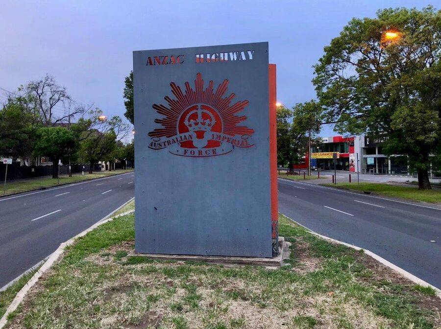
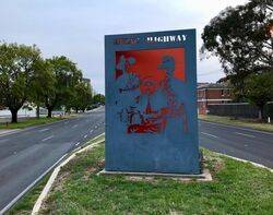
From the memorial adjacent to the Keswick Military Barracks to Marion Road, bronze plaques are affixed to grey granite blocks at the base of the trees. The memorial is a sheet steel structure with cut-outs depicting servicemen on the front and title on the back; three plaques are at the base of the memorial. Originally a wrought iron arch spanned the road, the structure was demolished when road widening began.
Location
| Address: | ANZAC Highway , Adelaide, 5000 |
|---|---|
| State: | SA |
| Area: | AUS |
| GPS Coordinates: | Lat: -34.944502 Long: 138.58093 Note: GPS Coordinates are approximate. |
Details
| Monument Type: | Roadway |
|---|---|
| Monument Theme: | Conflict |
| Sub-Theme: | Multiple |


