www.monumentaustralia.org.au
Home » Themes » Landscape » Settlement
1954 Survey & Mapping ExpeditionPrint Page 
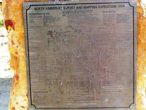
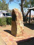
The Plaque commemorates the 1954 survey seeking potential grazing land in the Gibb River region.
This survey was considered to be the last of the old style, using horses and donkeys for transport during exploration. The aims of the survey expedition were to seek potential grazing land in the Gibb River area, find a suitable port site in Napier Broome Bay and to survey and cut a rough road from Gibb river Station to Kalumburu.
Location
| Address: | O`Donnell & Gambier Streets, Wyndham HIstorical Society Museum , Wyndham, 6740 |
|---|---|
| State: | WA |
| Area: | AUS |
| GPS Coordinates: | Lat: -15.461533 Long: 128.100989 Note: GPS Coordinates are approximate. |
Details
| Monument Type: | Plaque |
|---|---|
| Monument Theme: | Landscape |
| Sub-Theme: | Settlement |
Monument details supplied by Monument Australia - www.monumentaustralia.org.au


