Home » Themes » Landscape » Settlement
Q150 GPS Mark Print Page 
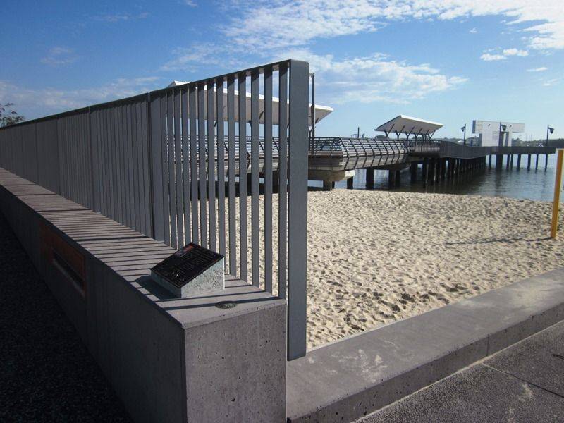
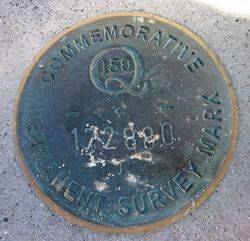
The spatial sciences profession ( surveyors, map makers and those who work with location information) placed over 60 GPS Marks at significant locations around Queensland during 2009 to commemorate Queensland`s150th anniversary and 150 years of surveying. The marks accurately depict latitude and longitude and provide the public with a means to check the accuracy of their in-car, in-boat and hand-held navigation devices.
The project was launched at the Museum of Lands, Mapping and Surveying in Brisbane on 24 June 2009.
Queensland's early explorers were often surveyors. Local members of SSSI (Surveying & Spatial Sciences Institute) Queensland will tell the stories of early surveyors and map makers by placing signs adjacent to many of the GPS Marks and celebrating 150 years of Queensland's history through public events celebrating the past and showcasing the future of the profession.
Location
| Address: | Gold Coast Highway, Broadwater Park, Southport, 4215 |
|---|---|
| State: | QLD |
| Area: | AUS |
| GPS Coordinates: | Lat: -27.9655 Long: 153.417917 Note: GPS Coordinates are approximate. |
Details
| Monument Type: | Plaque |
|---|---|
| Monument Theme: | Landscape |
| Sub-Theme: | Settlement |
Dedication
| Approx. Monument Dedication Date: | 2009 |
|---|
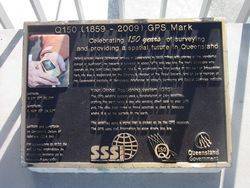
Q150 ( 1859 - 2009 ) GPS Mark
Celebrating 150 years of surveying and providing a spatial future in Queensland
Oxford scholar Henry Schneider arrived in Queensland in 1866 "fired with stories of the wonderful doings in Australia." He became a surveyor in about 1876 and was one of the many surveyors who opened up the Gold Coast Region. In 1883, he undertook the first survey of this part of Broadwater Park. He was a magistrate for the Colony, a member of the Royal Society, and an early member of the Queensland Institute of Surveyors, forerunner to today`s Surveying and Spatial Sciences Institute.


