www.monumentaustralia.org.au
Home » Themes » Landscape » Settlement
Centenary of DawsonPrint Page 

09-September-2021
Photographs supplied by Stephen Warren
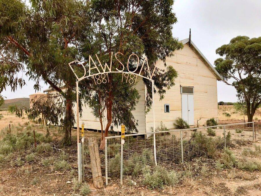
The arch commemorates the centenary of Dawson from 1881 to 1981.
The government town of Dawson was surveyed in February 1881; it was often referred to as Coglin in its early years. It was founded as part of an attempt to establish wheat farming north of Goyder`s Line , but this proved unsuccessful in the long term, and the Crystal Brook - Broken Hill railway line bypassed Dawson, instead running further south through OOdla Wirra and Peterborough. Coglin Post Office opened in 1881, was renamed Dawson Post Office in April 1882, and closed on 14 August 1971.
Note: Dawson is now an abandoned town.
Location
| Address: | Peterborough - Dawson Road & High Street, Former Methodist Church, Dawson, 5422 |
|---|---|
| State: | SA |
| Area: | AUS |
| GPS Coordinates: | Lat: -32.804159 Long: 138.975507 Note: GPS Coordinates are approximate. |
Details
| Monument Type: | Structure |
|---|---|
| Monument Theme: | Landscape |
| Sub-Theme: | Settlement |
| Approx. Event Start Date: | 1881 |
| Approx. Event End Date: | 1981 |
Dedication
Front Inscription
Source: MADawson
1881 1981
Monument details supplied by Monument Australia - www.monumentaustralia.org.au


