Home » Themes » Landscape » Settlement
Booleroo WhimPrint Page 

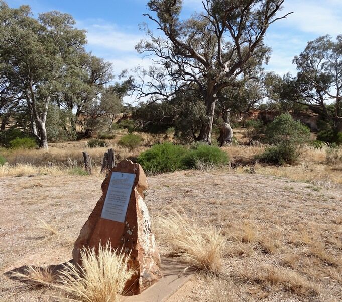
The plaque commemorates the pioneers of the Booleroo District who drew water from the well at this location.
The Hundred of Booleroo was officially proclaimed in 1875 however no town was surveyed at this time. A town site in the hundred was surveyed by the colonial government in 1878, but the early European settlers established the town elsewhere. The hundred's name was derived from a local Aboriginal word. Sources vary on its meaning with suggestions including "plenty" or "soft mud". The town's location in the centre of the Hundred of Booleroo led to the name Booleroo Centre.
Booleroo Whim settlement was based around the government well sunk in the 1850s. The well or whim was last used in 1938 and mainly swept away in a flood in 1940. The district around the whim had a blacksmith shop, several houses a school and the Bethlehems Lutheran Church and the Wesleyan Methodist church. The local blacksmith Mr Hinton from Pekina also ran the Post Office. The first farmers as opposed to pastoralists arrived at Booleroo Whim in 1876.
Location
| Address: | Willowie - Booleroo Road & Whim Road, Booleroo Centre, 5482 |
|---|---|
| State: | SA |
| Area: | AUS |
| GPS Coordinates: | Lat: -32.781827 Long: 138.332281 Note: GPS Coordinates are approximate. |
Details
| Monument Type: | Plaque |
|---|---|
| Monument Theme: | Landscape |
| Sub-Theme: | Settlement |
Dedication
| Actual Monument Dedication Date: | Wednesday 12th April, 1978 |
|---|
BOOLEROO WHIM
Along The Pathway Of The Years
The Phantom Horse Will Tread
Recalling Those Who Strove And Built
Who Died But Are Not Dead
Dedicated To The Pioneers Of
This District
Who Drew Water At This Well
Erected By District Residents
13th April 1975


