Home » Themes » Landscape » Settlement
Community of Hill RiverPrint Page 
Location
| Address: | Farrell Flat Road & Sheep Dip Road, Hill River, 5453 |
|---|---|
| State: | SA |
| Area: | AUS |
| GPS Coordinates: | Lat: -33.812444 Long: 138.685241 Note: GPS Coordinates are approximate. |
Details
| Monument Type: | Monument |
|---|---|
| Monument Theme: | Landscape |
| Sub-Theme: | Settlement |
| Approx. Event Start Date: | 1912 |
Dedication
| Actual Monument Dedication Date: | Sunday 10th October, 2004 |
|---|
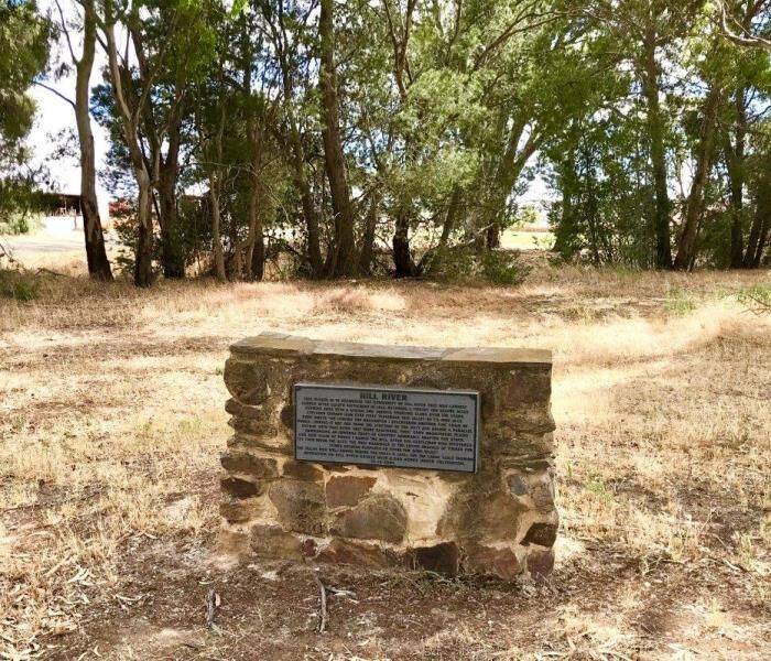
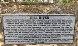
HILL RIVER
This Plaque Is To Recognise The Community Of Hill River That Was Largely Formed After Closer Settlement In 1912, Becoming A Vibrant And Secure Mixed Farming Area With A School And Various Sporting Clubs Over The Years.
Explorer John Edward Eyre First Traversed This Valley On 7th June 1839.
Eyre Wrote "On Leaving Broughton I Discovered Another Fine Chain Of Ponds, Joining It Not Far From The Junction Of The Hutt And Having A Parallel Course With That River Only More Eastward, Thro` Some Magnificent Plains Commanding An Immense Tract Of Country Admirably Adapted For Stock. This New Chain Of Ponds I Named The Hill, After The Gentleman Who Discovered Its Twin River The Hutt. The Only Drawback Is The Entire Absence Of Timber For Either Building Purposes Or Firing For Some Miles"
The Valley Was Well Known During The 1860s & 1870s For The Large Scale Farming Operation On Hill River Estate With 4,500 Acres Under Cultivation.
10 - 10 - 2004


