Home » Themes » Landscape » Settlement
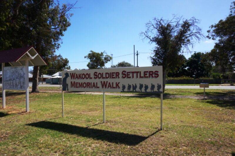
Wakool Soldier Settlers Memorial WalkPrint Page 
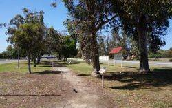
The walkway commemorates the returned servicemen and their families who settled on the Tullakool and Tulla soldier settlement schemes.
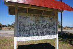
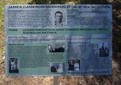
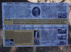
Along the walkway are a series of interpretative signs which tell the history of the soldier settler families.
Not long after the Japanese entered World War II in 1941, the Commonwealth Government embarked on an war time, experimental rice growing project at Tulla utilising the Wakool Irrigation Scheme. The stated aim was to develop an industry capable of feeding starving Islander and Asiatic nations after an anticipated Allied victory. In the end, the whole of the remaining property at Tulla was compulsorily resumed from the trustees of the estate of the late Thomas Wragge following the end of World War II. It was intended that the land should be subdivided into farms for ex-servicemen, some of whom would be rice farmers, and sold under the process of the Soldier Settler Scheme of New South Wales.
Depression and World War had changed people’s perceptions of big holdings, and absentee landlords like those at Tulla were considered fair game. Tulla and Chowar were divided into three specific settlements with a total of 24 farms divided from Tulla and allocated to ex-servicemen by ballot. This was the beginning of the history of the “Tullakool” Irrigation Area.
Location
| Address: | Cook Street, Wakool, 2710 |
|---|---|
| State: | NSW |
| Area: | AUS |
| GPS Coordinates: | Lat: -35.469966 Long: 144.395983 Note: GPS Coordinates are approximate. |
Details
| Monument Type: | Walkway |
|---|---|
| Monument Theme: | Landscape |
| Sub-Theme: | Settlement |
Dedication
Sign :
Wakool Soldier Settlers
Memorial Walk
Plaque :
Tullakool Soldier Settlers
[ Names ]
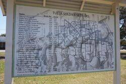
Plaque :
Tulla Soldier Settlers
[ Names ]


