www.monumentaustralia.org.au
Home » Themes » Technology » Industry
Poverty ReefPrint Page 
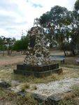
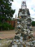
The monument denotes the site of the gold reef which initiated the Poverty Mine.
The main strike occurred in 1862 at Poverty Reef which was allegedly the richest pocket of reef gold ever recorded, yielding 13.5 tonnes of precious metal in 13 months from an area 3 metres wide and 120 metres deep.
It was named by one of its discoverers who was wrecked at Poverty Bay in New Zealand and rescued by a Maori woman whom he married (both are buried in the local cemetery).
Location
| Address: | Old Tarnagulla Road, Adjacent to the Church, Tarnagulla, 3551 |
|---|---|
| State: | VIC |
| Area: | AUS |
| GPS Coordinates: | Lat: -36.769968 Long: 143.834162 Note: GPS Coordinates are approximate. |
Details
| Monument Type: | Monument |
|---|---|
| Monument Theme: | Technology |
| Sub-Theme: | Industry |
Dedication
Front Inscription
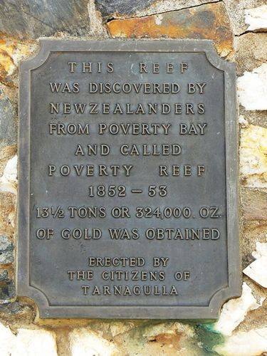
Source: MA,RUMV,VMR, VHDThis reef was discovered by New Zealanders from Poverty Bay and called Poverty Reef
1852 - 53
12 1/2 tons or 324,000 Oz. of gold was obtained.
Erected by the citizens of Tarnagulla
Monument details supplied by Monument Australia - www.monumentaustralia.org.au


