www.monumentaustralia.org.au
Home » Themes » Landscape » Settlement
Q150 GPS Mark Print Page 
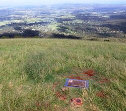
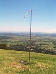
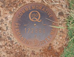
GPS Pole Marker and plaque celebrate 150 years of surveying and providing a spatial future in Queensland (1859 - 2009) .
On Saturday, December 10, 1859, the proclamation declaring Queensland a separate colony from New South Wales was read from the balcony of Adelaide House, now the Deanery of St John's Cathedral in Ann St Brisbane.
Charles Warner a qualified surveyor who was born in 1851 conducted his first surveys of this part of Tamborine Mountain from 1877 onwards. In his short life of 34 years he completed 750 surveys of Queensland.
Location
| Address: | Main Western Road, North Tamborine, 4272 |
|---|---|
| State: | QLD |
| Area: | AUS |
| GPS Coordinates: | Lat: -27.950244 Long: 153.181236 Note: GPS Coordinates are approximate. |
Details
| Monument Type: | Plaque |
|---|---|
| Monument Theme: | Landscape |
| Sub-Theme: | Settlement |
Dedication
| Approx. Monument Dedication Date: | 2009 |
|---|
Front Inscription
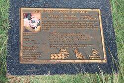
Source: MAQ150 ( 1859 - 2009) GPS Mark
Celebrating 150 years of surveying and providing a spatial future in Queensland
Monument details supplied by Monument Australia - www.monumentaustralia.org.au


