www.monumentaustralia.org.au
Home » Themes » Landscape » Settlement
Centenary Clifftop WalkPrint Page 
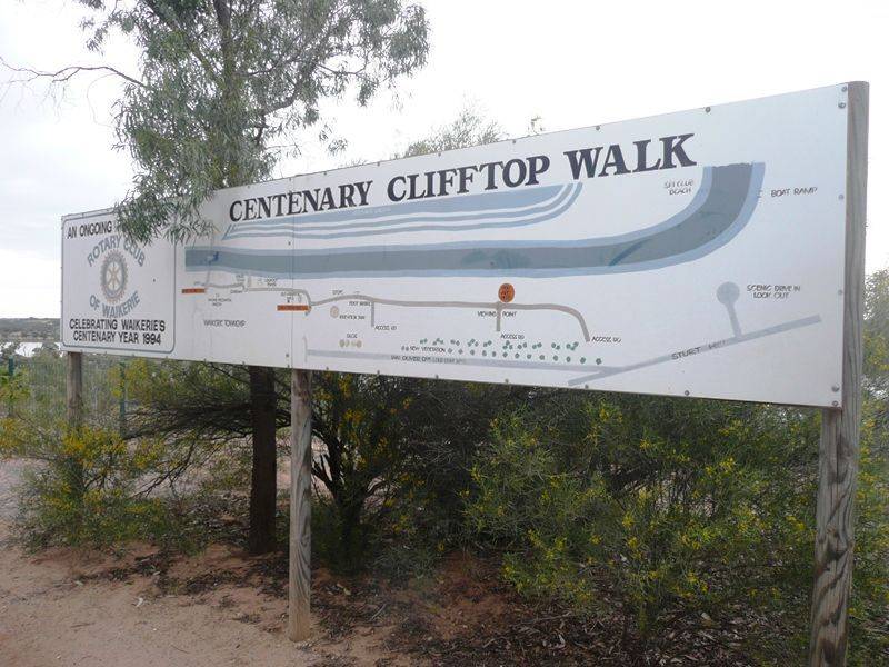
The Walkway was a Rotary Club of Waikerie project to commemorates the centenary of Waikerie.
Location
| Address: | Ian Oliver Drive, Waikerie, 5330 |
|---|---|
| State: | SA |
| Area: | AUS |
| GPS Coordinates: | Lat: -34.184697 Long: 139.996445 Note: GPS Coordinates are approximate. |
Details
| Monument Type: | Walkway |
|---|---|
| Monument Theme: | Landscape |
| Sub-Theme: | Settlement |
| Actual Event Start Date: | |
| Approx. Event Start Date: | 1894 |
| Actual Event End Date: | |
| Approx. Event End Date: | 1994 |
Dedication
| Approx. Monument Dedication Date: | 1994 |
|---|
Front Inscription
Source: MACENTENARY CLIFFTOP WALK
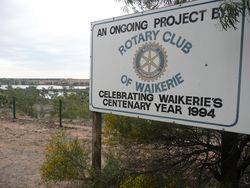
AN ONGING PROJECT BY
ROTARY CLUB
OF
WAIKERIE
CELEBRATING WAIKERIE`S
CENTENARY YEAR 1994
Monument details supplied by Monument Australia - www.monumentaustralia.org.au


